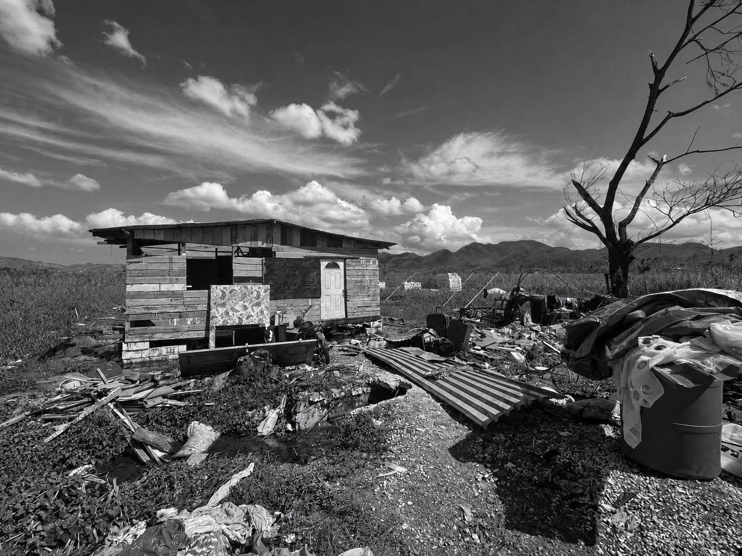
Six weeks to hurricane season: The data we wish we’d had on day one
Six weeks from now, the 2026 Atlantic hurricane season begins. The clearest lesson from Melissa is not about logistics or funding. It is about information — and most of it did not exist in a usable form on the day she made landfall. Who needed what, where they were, which businesses were operating, which communities had power, which roads were passable; these questions defined every response decision in the weeks after Melissa, and in too many cases we were still answering them long after the storm had passed.
In the aftermath of Melissa, The Leap Co stood up the Private Sector Relief Dashboard and Data Working Group at the request of the Private Sector Coordination Committee of the Hurricane Melissa Recovery Task Force. The platform consolidated damage impact and assessments, asset-level business data, electricity connectivity, business sector interest locations and operational conditions, relief activity, and high-resolution vulnerability models into a single operational environment. It was updated up to daily, covered every registered business and active retail point, and was used directly by the Private Sector Emergency Operations Centre, the National Emergency Operations Centre at the ODPEM, the Office of the Prime Minister, the Shelter Working Group, and ministries delivering recovery programmes. For a period, it was the only platform at national level providing asset- and event-scale information rather than parish- or community-level summaries.
That work demonstrated what is possible. It also demonstrated, unambiguously, what was missing before the storm. Much of the data integrated into the dashboard did not exist in a usable form on the day Melissa made landfall. It was assembled, cleaned, geocoded, and cross-referenced under pressure, while people were waiting for help. This is the wrong moment to build a dataset. The right moment is now.
A data management system for disaster readiness is not a map produced after impact. It is an ongoing discipline: a maintained, quality-controlled picture of the country and its communities that exists before a storm forms in the Atlantic. Hardware stores and their electrification status. Pharmacies, wholesalers, farms, remittance points, shelters. The informal faith-based actors who often deliver more community-level relief than agencies acknowledge. Household-level vulnerability indicators. Road and bridge conditions. The more of this that is in place, accurate, and accessible before the season begins, the more targeted the first seventy-two hours of response can be.
Data is also what makes the other readiness decisions credible. A system for communities to hold information about themselves, identifying older residents, persons with disabilities, households with infants, and those in the most structurally exposed homes, only works if it is built and maintained locally, in peacetime, and connected to the national picture. The pre-positioning of shelter kits, tarpaulin, water purification, and first aid at community level only works if we know, with confidence, where those supplies should sit and who is responsible for them. Coordination between civil society, state agencies, and private sector partners only works if everyone is reading from the same operational picture. Each of these decisions depends on information that is current, structured, and shared.
We are six weeks from the next season. The question is not whether Jamaica can build a disaster data infrastructure. Melissa showed that we can, and that it works. The question is whether we treat it as permanent operational infrastructure or as something we reassemble every time the wind rises. The cost of the first approach is sustained investment. The cost of the second is measured in the hours and days it takes to reach people who are already in trouble.
Six weeks is not much. But it is enough time to decide.